Log in
All resources
Create a design
925 Free Images of Nautical Chart
charts and maps of the royal museums greenwich
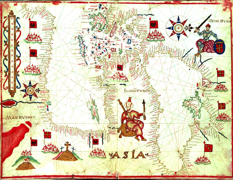
1590 maps
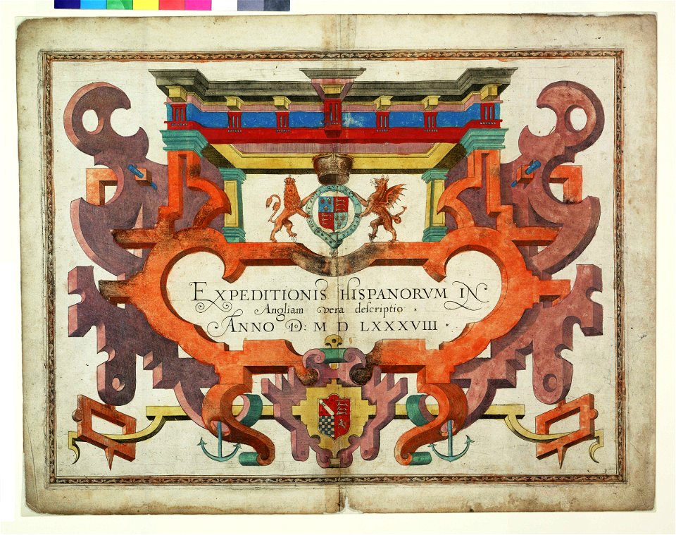
augustine ryther
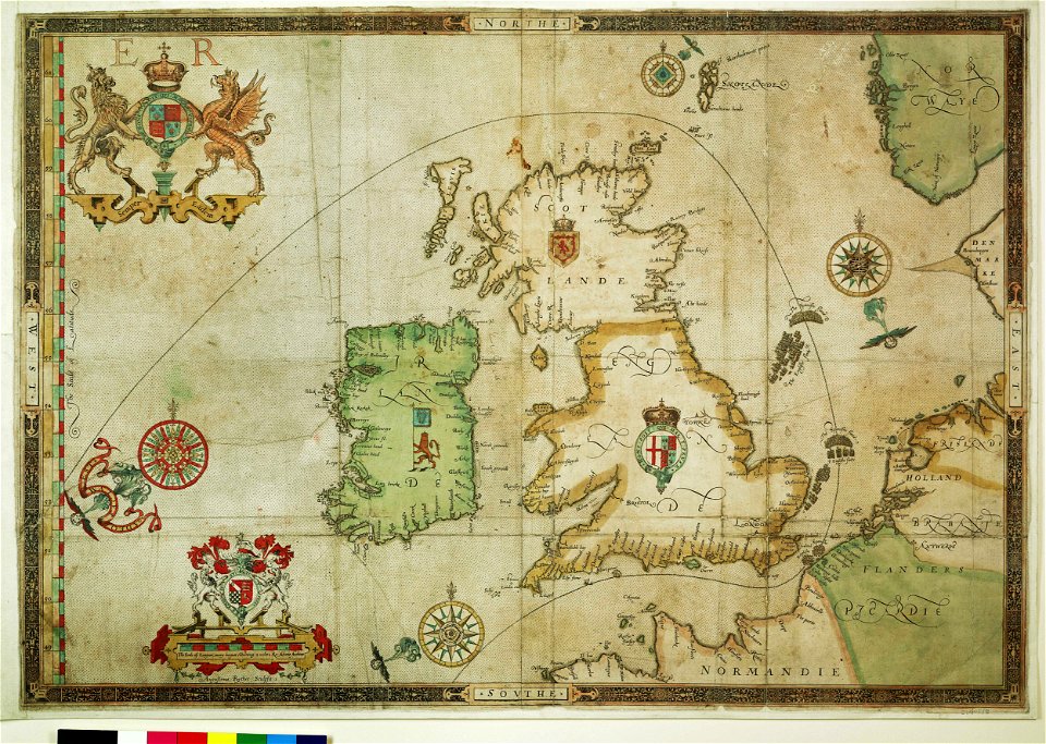
expeditionis hispanorum in angliam vera descriptio anno domini mdlxxxviii
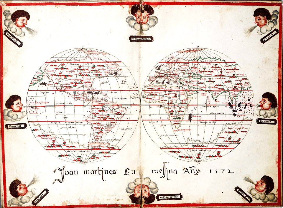
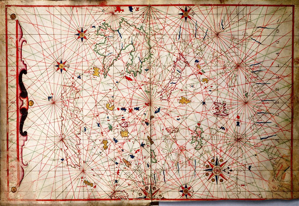
joan martines
1682 maps
richard brydges beechey
frederick william beechey
river
roads
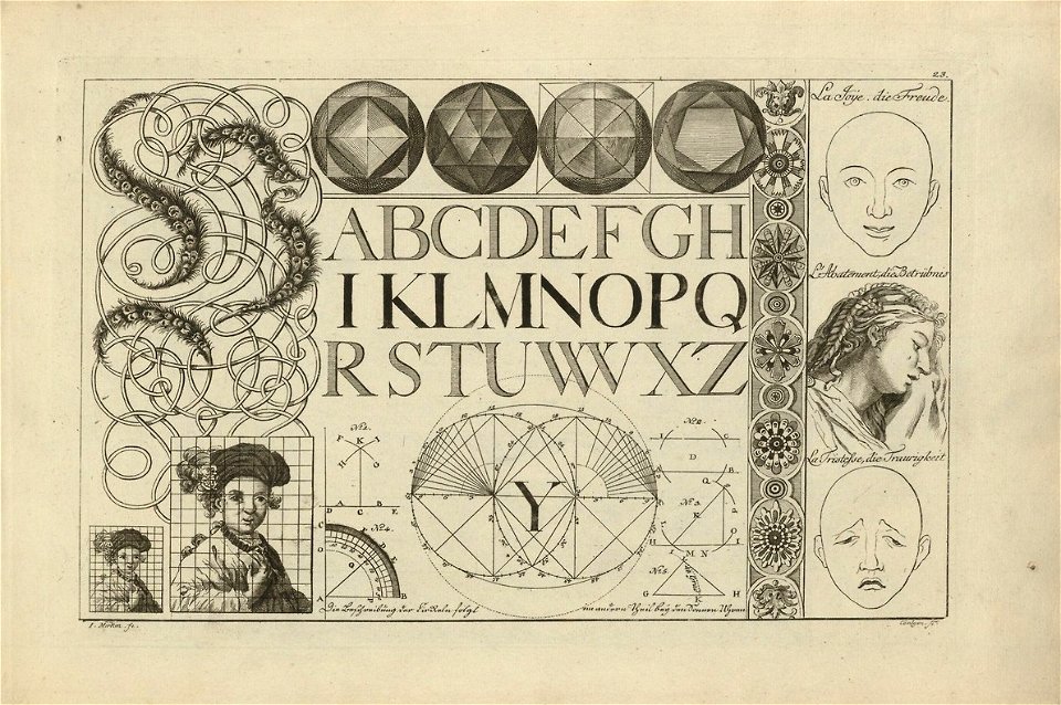
latin alphabet charts
harvard university
latin alphabet charts
harvard university
charts and maps of the royal museums greenwich
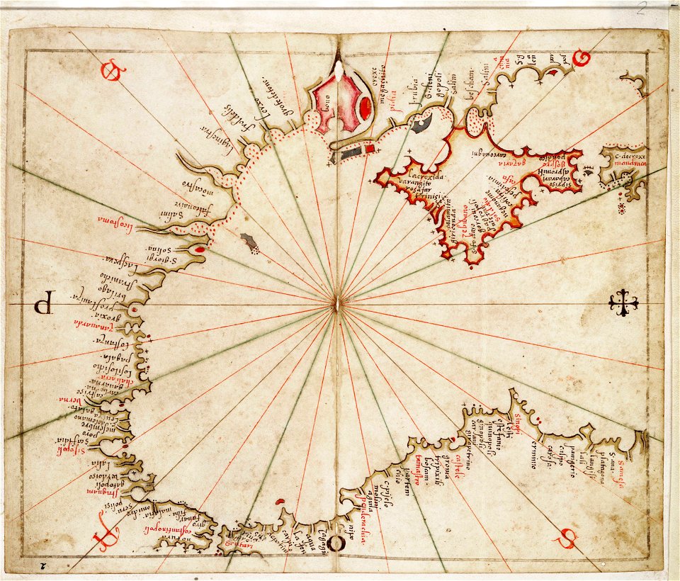
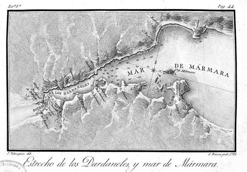
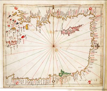
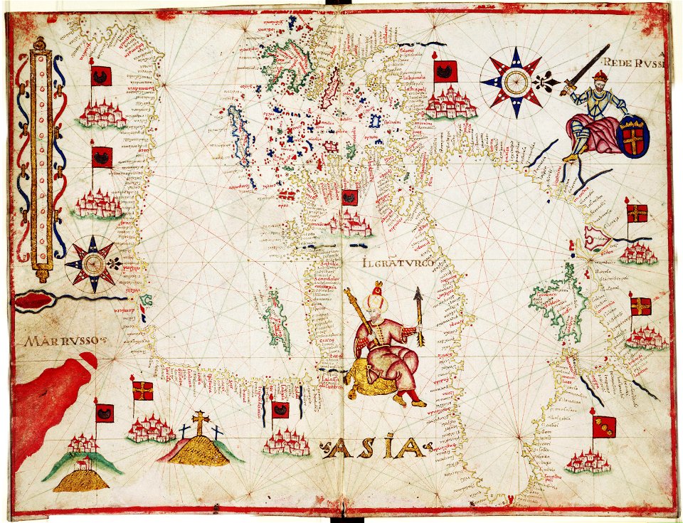
maps of the sea of marmara
charts and maps of the royal museums greenwich
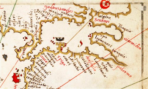
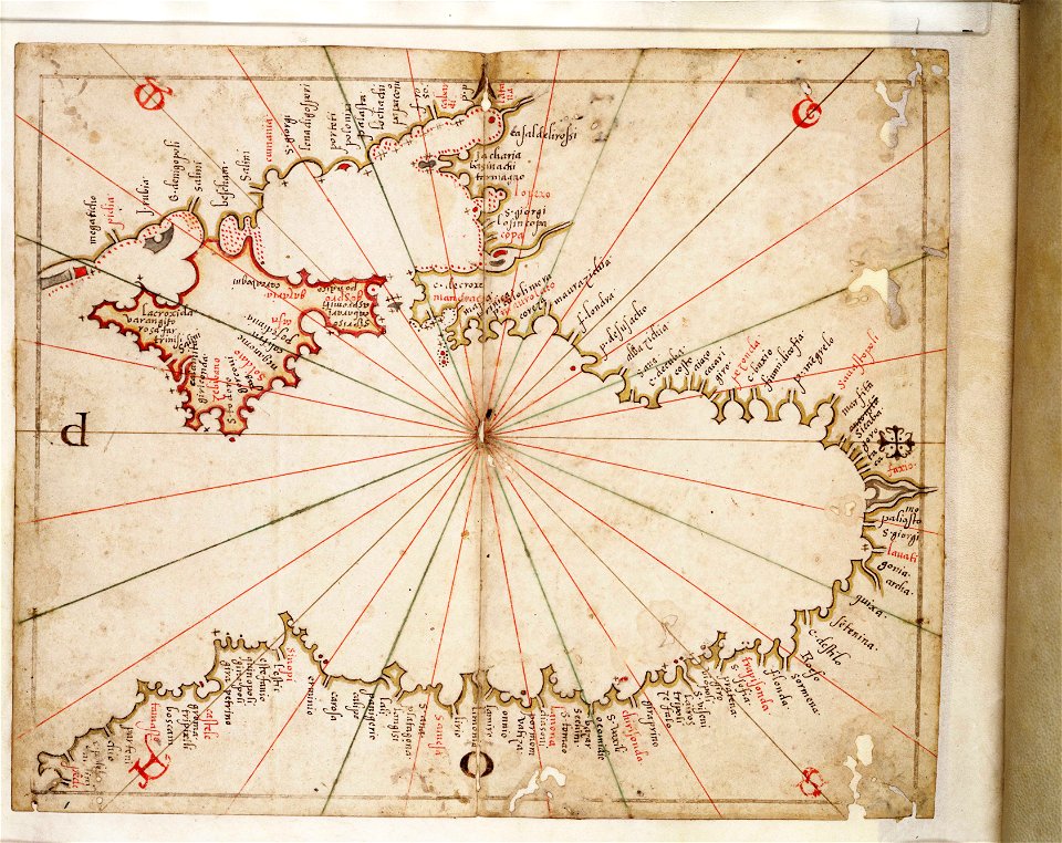
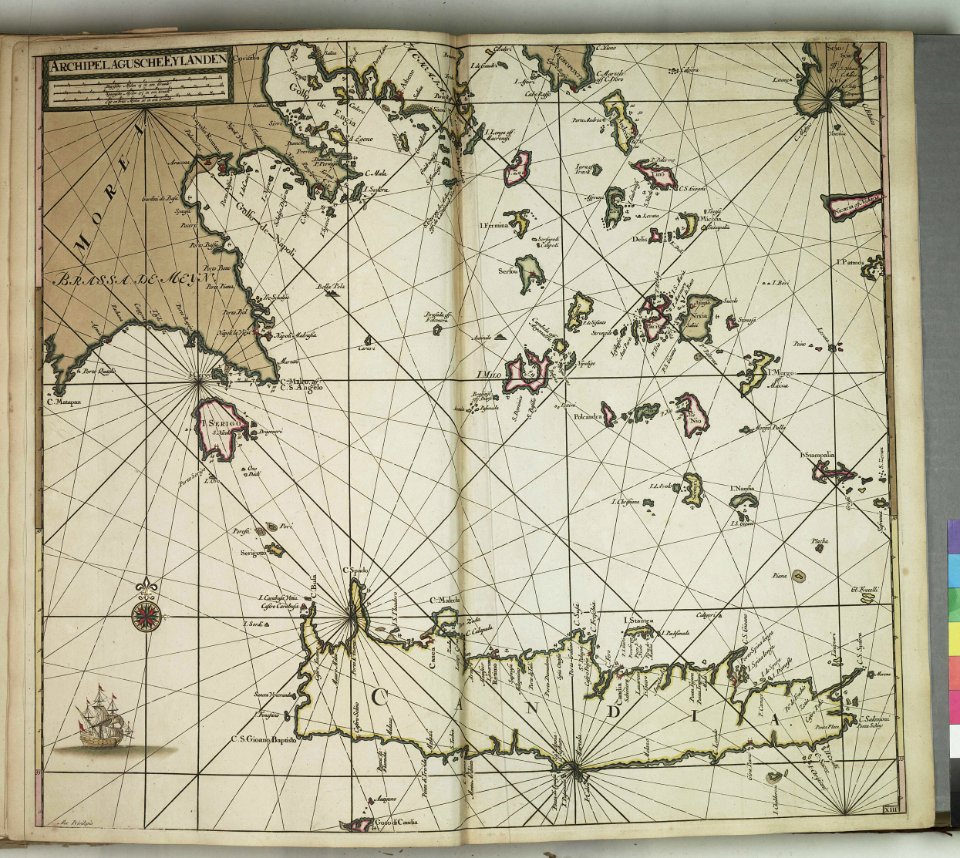
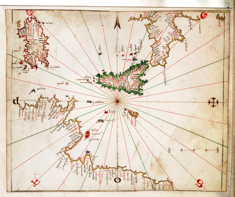
old maps of the aegean sea
18th-century engravings
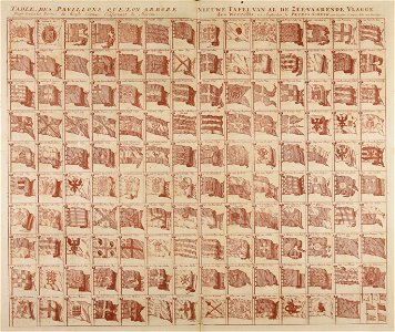
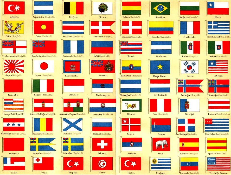
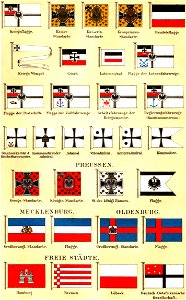
flag charts
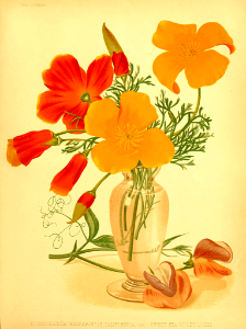
illustration
gold
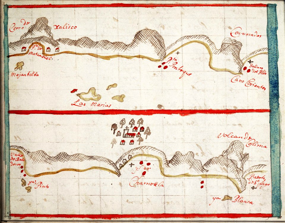
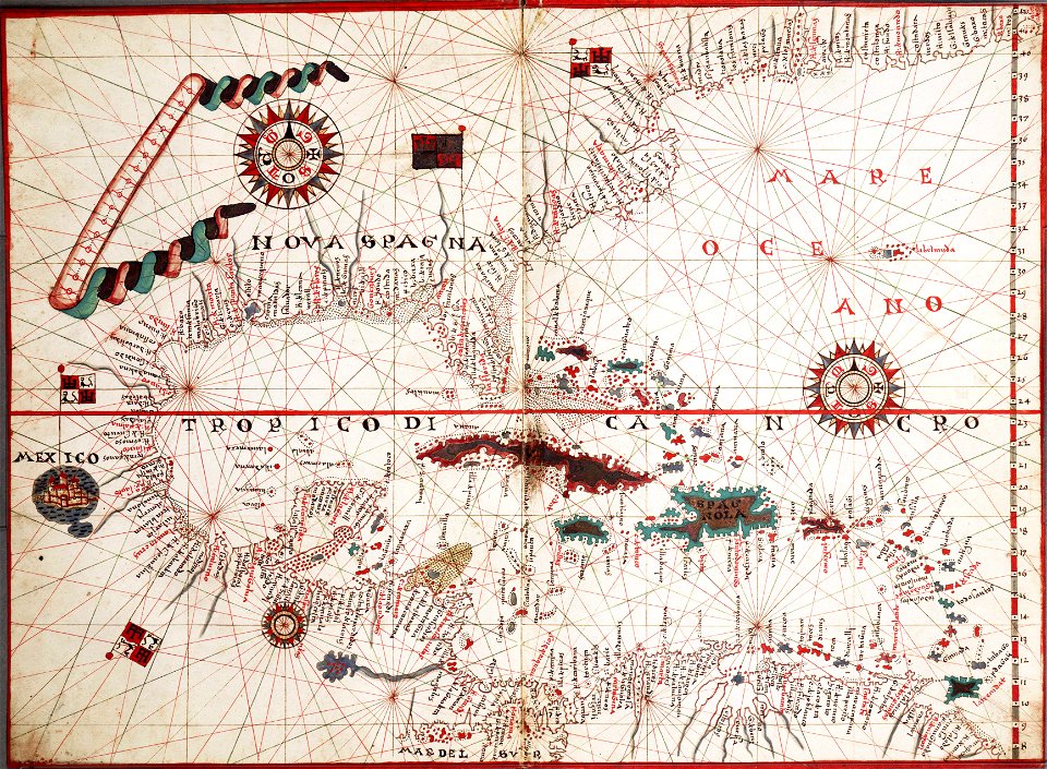
old maps of mexico
jalisco
old maps of mexico
jalisco
charts and maps of the royal museums greenwich
edward gennys fanshawe
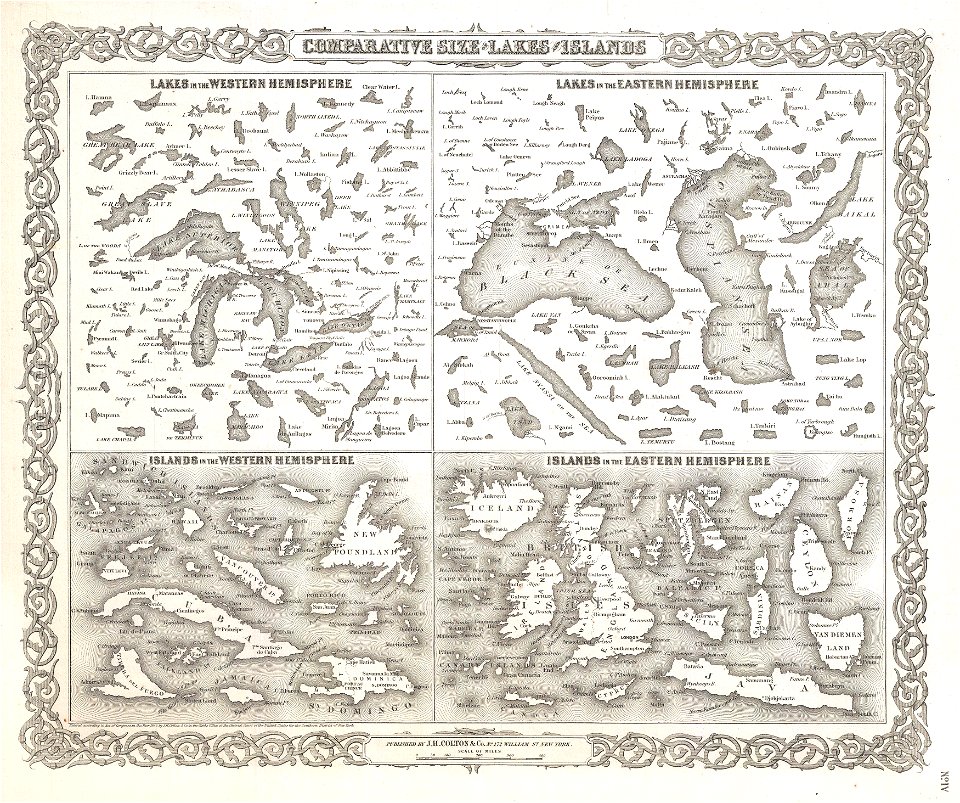
geographic comparison diagrams
1855 maps
geographic comparison diagrams
1855 maps
charts and maps of the royal museums greenwich
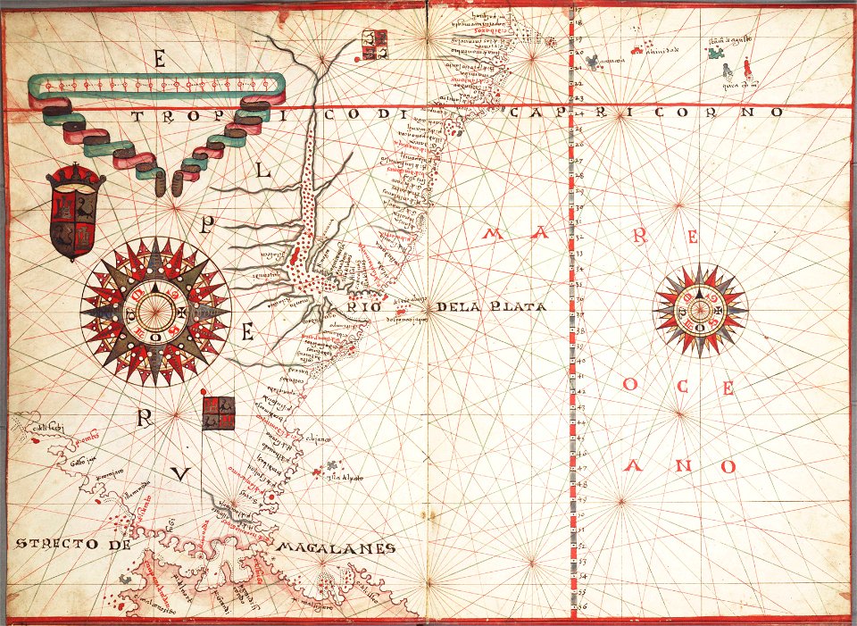
1572 maps
charts and maps of the royal museums greenwich
1682 maps
charts and maps of the royal museums greenwich
old maps of ecuador
charts and maps of the royal museums greenwich
old maps of ecuador
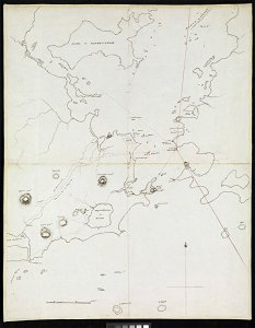
old maps of panama
panama
charts and maps of the royal museums greenwich
16th-century maps of the black sea
charts and maps of the royal museums greenwich
16th-century maps of the black sea
cartography
maps
cartography
maps
charts and maps of the royal museums greenwich
1572 maps
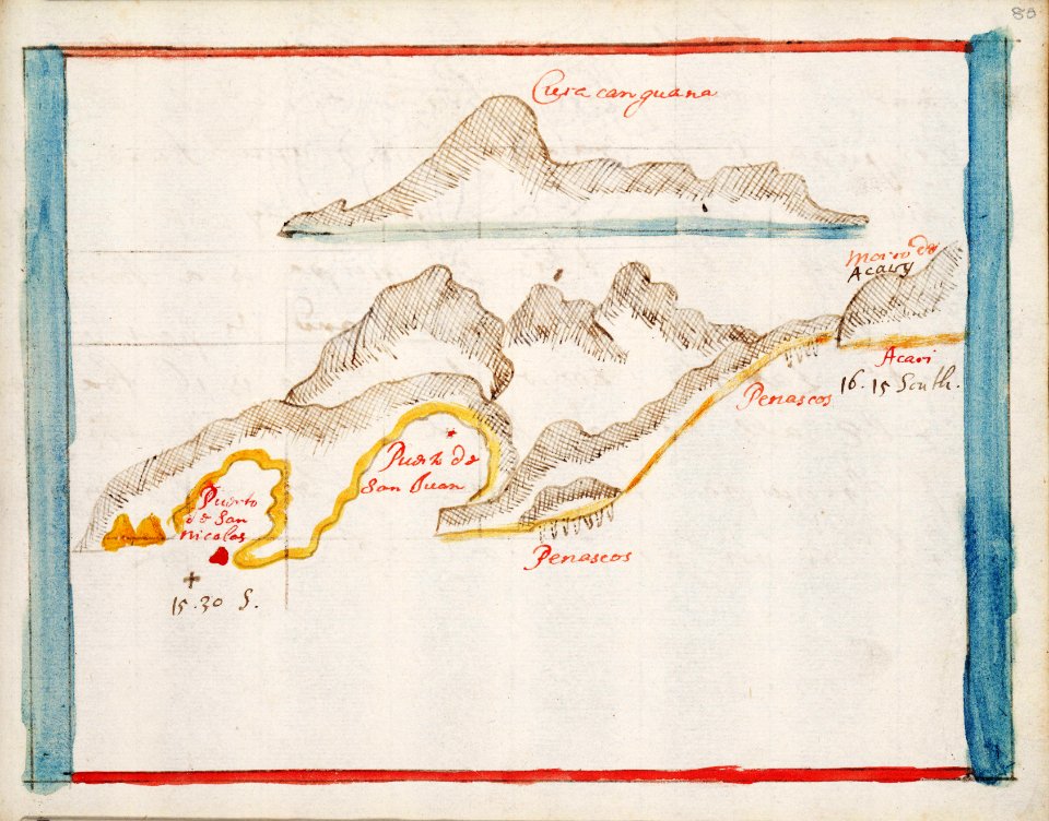
old maps of peru
peru
old maps of peru
peru
flags of montenegro in art
historical flag
latin alphabet charts
harvard university
oxygen
navy
charts and maps of the royal museums greenwich
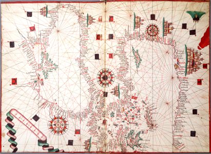
16th-century maps of the mediterranean sea
charts and maps of the royal museums greenwich
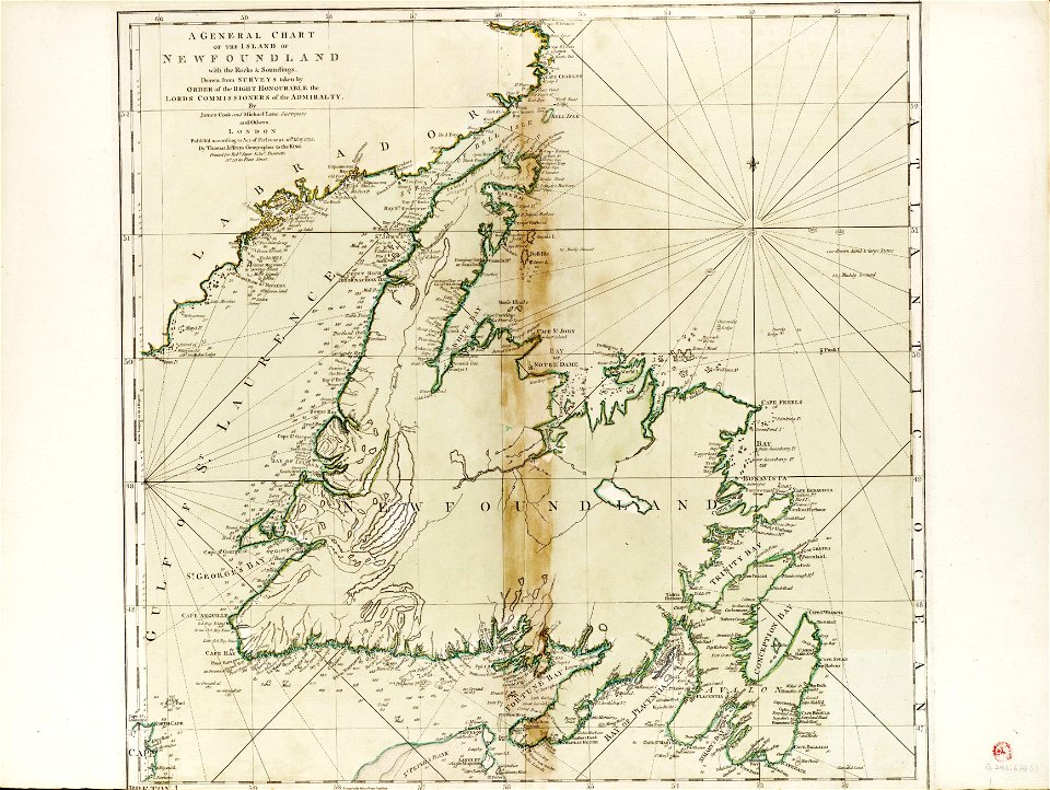
james cook (maps relating to)
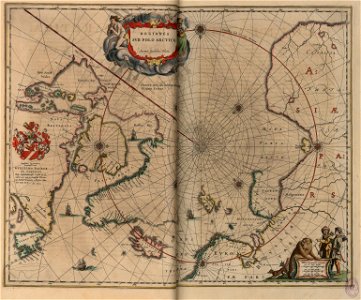
old maps of the arctic
copper engraving
charts and maps of the royal museums greenwich
1590s maps of the world
charts and maps of the royal museums greenwich
1590s maps of the world
illustration
jellyfish
old maps of the aegean sea
old maps of crete
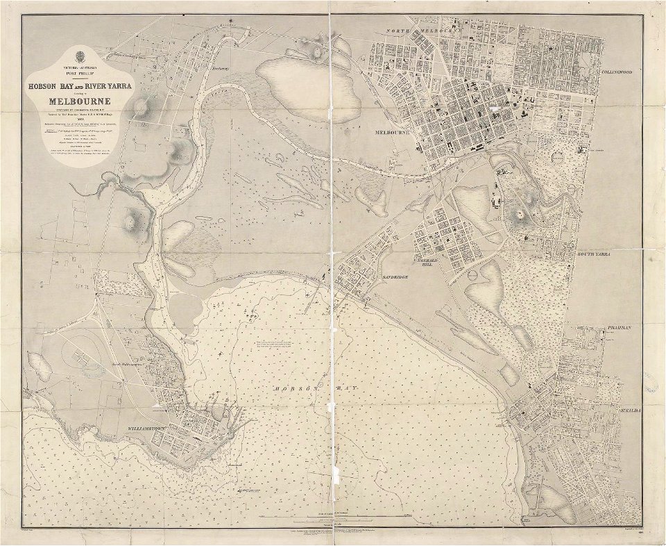
maps of melbourne
australia
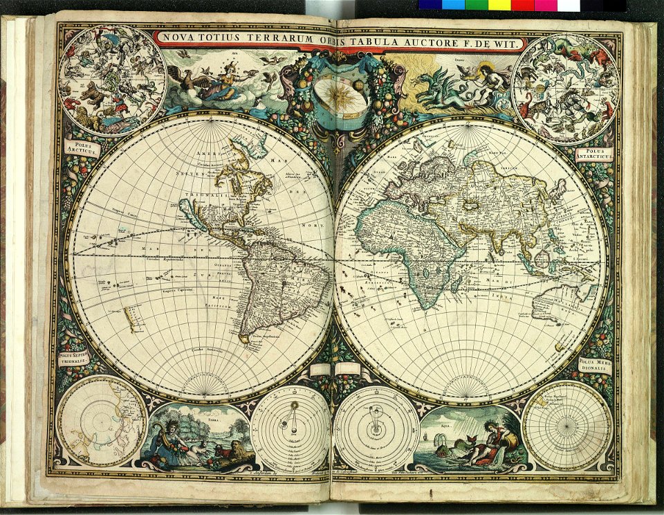
maps by frederick de wit
1660s maps of the world
charts and maps of the royal museums greenwich
old maps of the aegean sea
charts and maps of the royal museums greenwich
1590 maps
charts and maps of the royal museums greenwich
1590 maps
charts and maps of the royal museums greenwich
1590 maps
charts and maps of the royal museums greenwich
1590 maps
charts and maps of the royal museums greenwich
1590 maps
charts and maps of the royal museums greenwich
1590 maps
charts and maps of the royal museums greenwich
1590 maps
charts and maps of the royal museums greenwich
1590 maps
charts and maps of the royal museums greenwich
1590 maps
charts and maps of the royal museums greenwich
1590 maps
charts and maps of the royal museums greenwich
1590 maps
charts and maps of the royal museums greenwich
1590 maps
charts and maps of the royal museums greenwich
1590 maps
charts and maps of the royal museums greenwich
1590 maps
charts and maps of the royal museums greenwich
1590 maps
charts and maps of the royal museums greenwich
1590 maps
charts and maps of the royal museums greenwich
1590 maps
nautical
ocean
fish
bird
charts and maps of the royal museums greenwich
lucas janszoon waghenaer
charts and maps of the royal museums greenwich
1572 maps
charts and maps of the royal museums greenwich
17th-century maps of the mediterranean sea
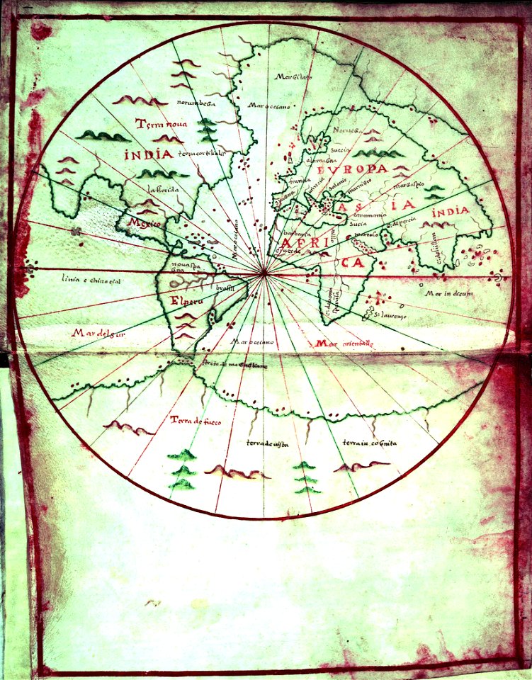
the northern hemisphere of the celestial globe by albrecht dürer
old celestial maps
on the origin of species
lithograph
nautical
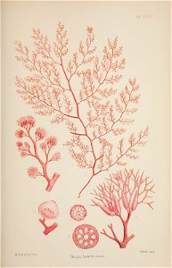
seaweed
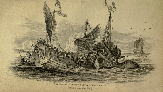
sea creature
animals
flags of the german empire
1892 illustrations
16th-century maps of the mediterranean sea
16th-century maps of the black sea
old maps of sicily
old maps of malta
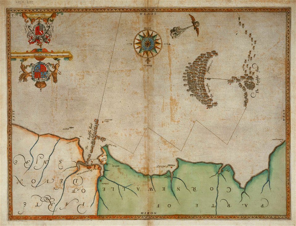
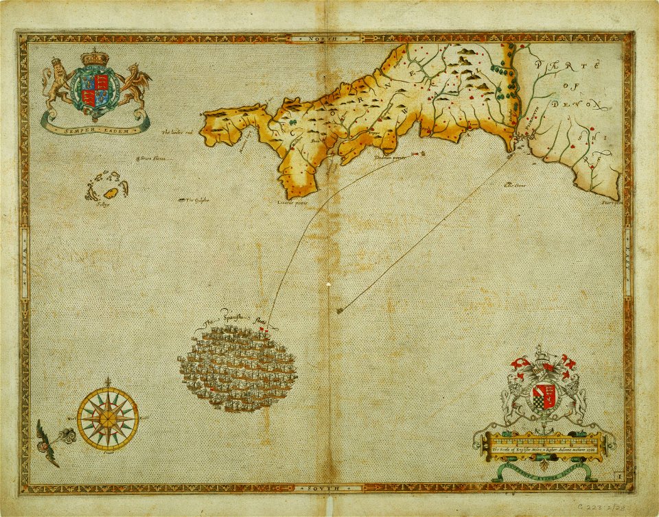
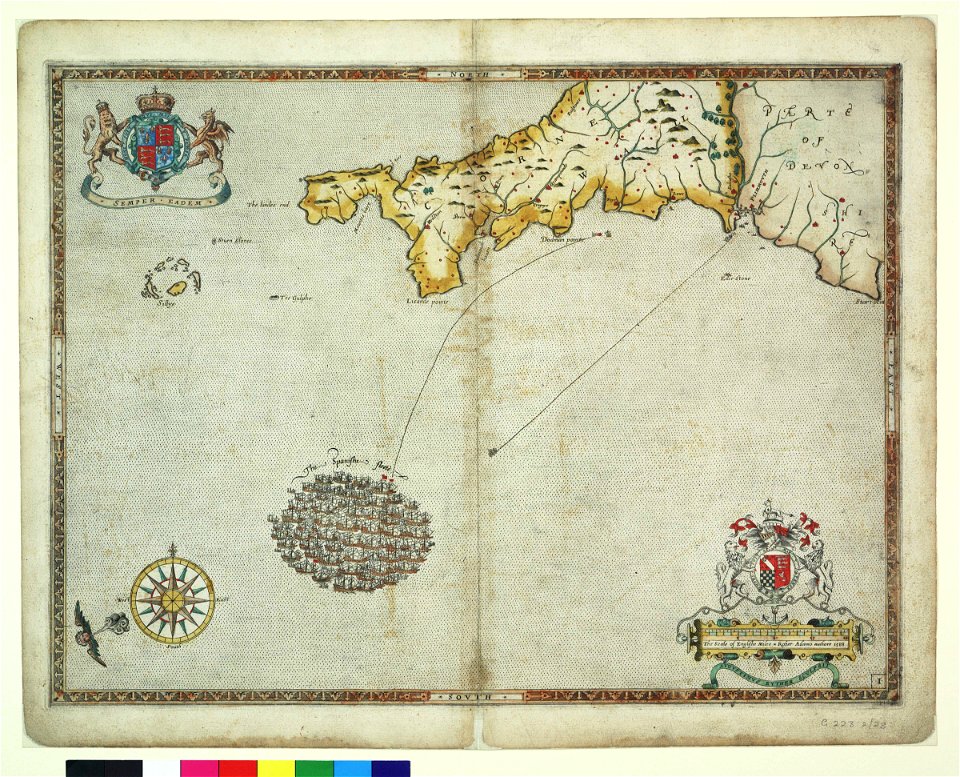
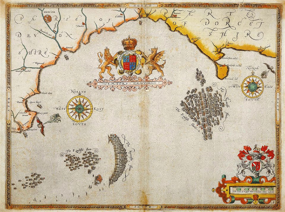
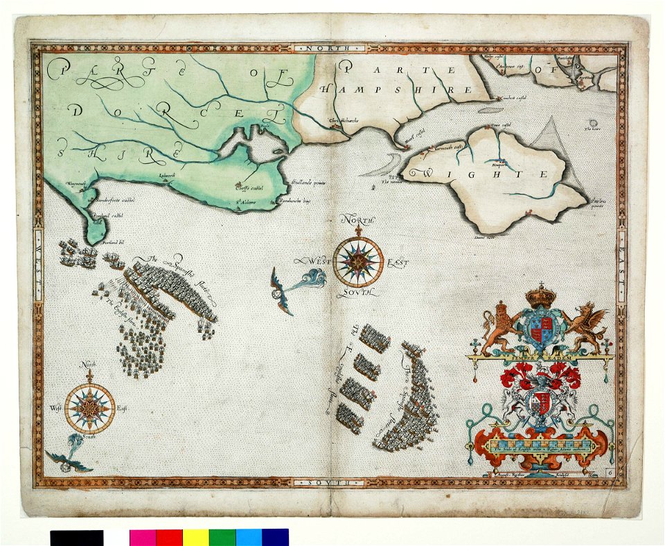
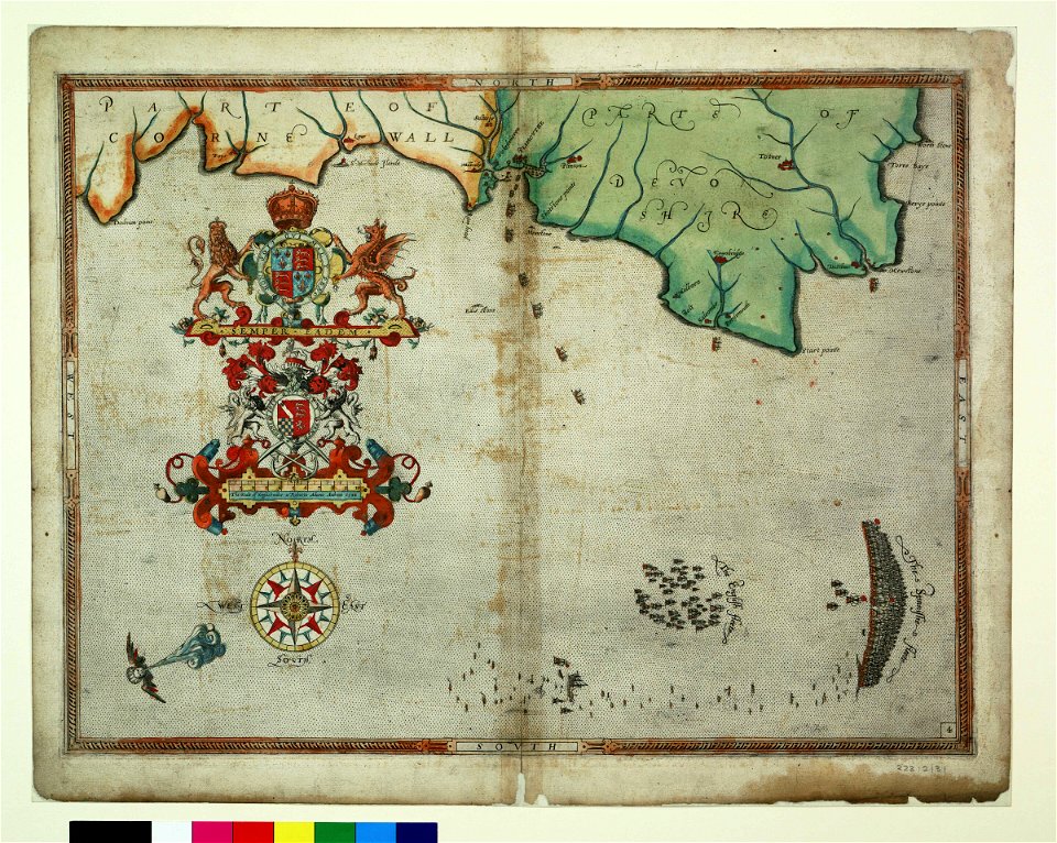
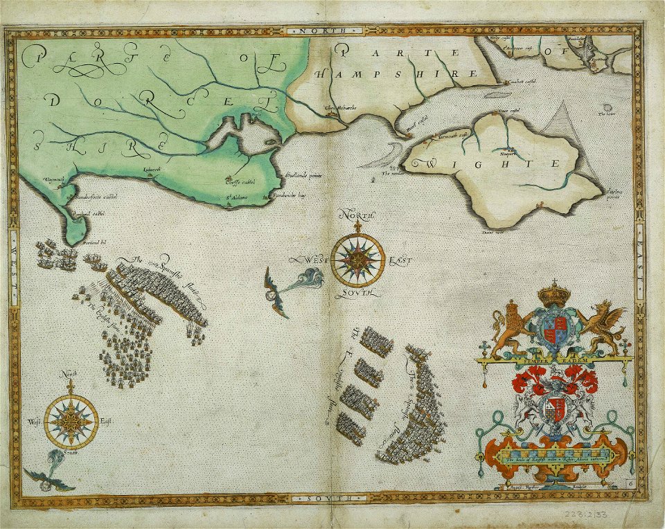
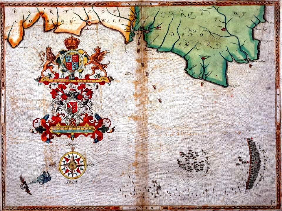
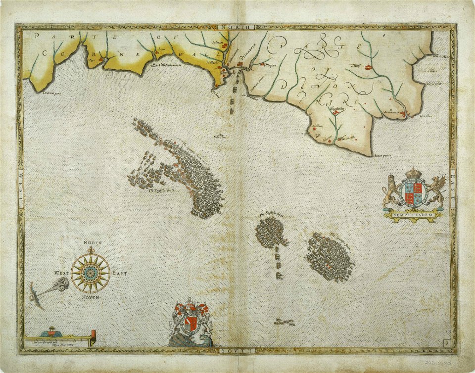
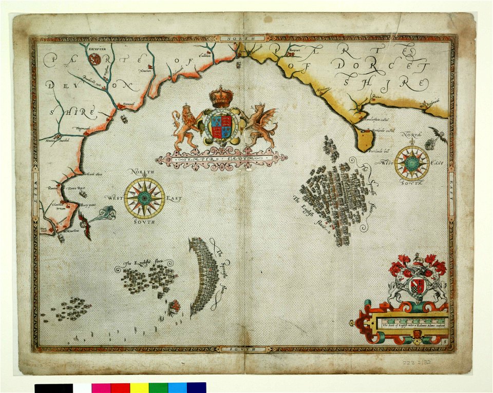
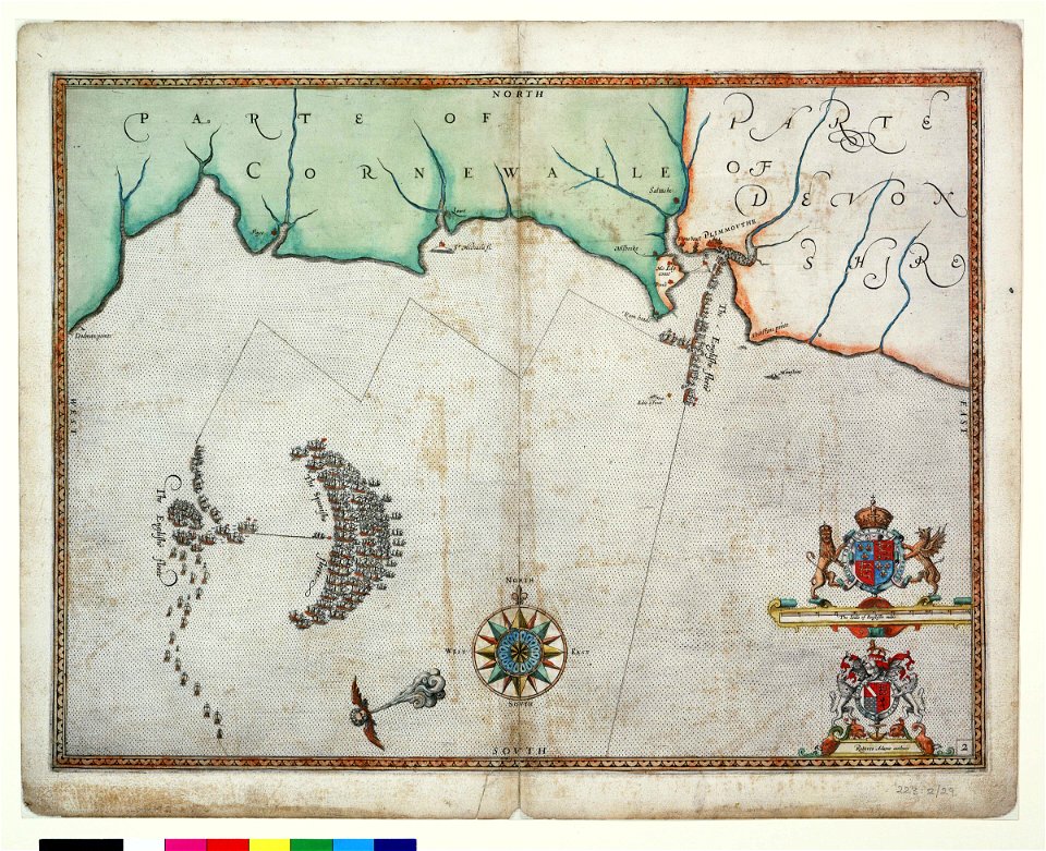
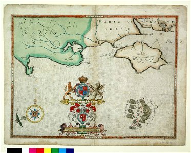
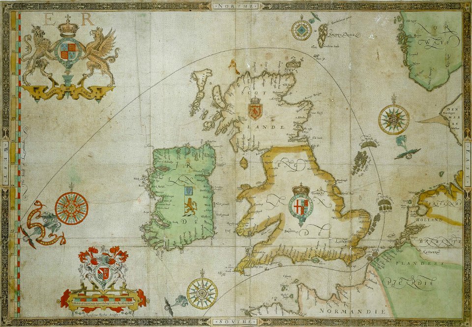
the track of the armada around britain and ireland
charts and maps of the royal museums greenwich
the track of the armada around britain and ireland
charts and maps of the royal museums greenwich
charts and maps of the royal museums greenwich
1590 maps
16th-century maps of the mediterranean sea
16th-century maps of the black sea
illustration
maps
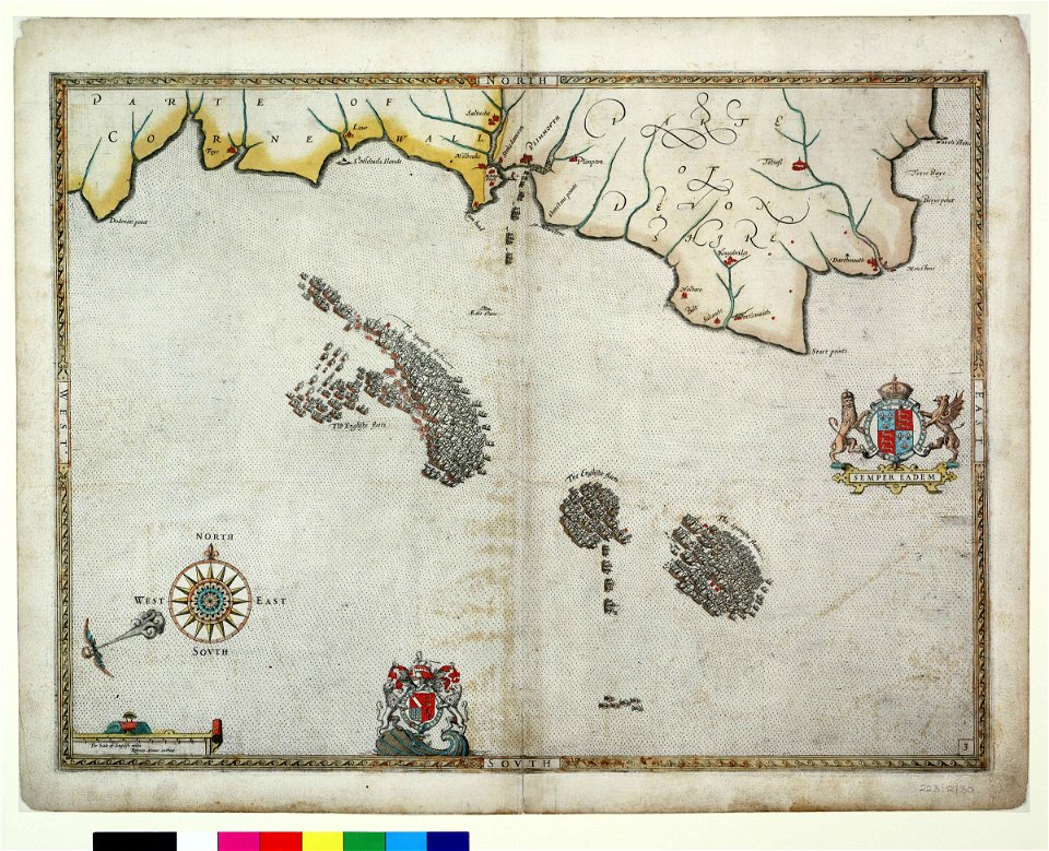
admiralty charts region b: england wales ireland english channel southern north sea
admiralty charts 2401-2600
admiralty charts region c: scotland
admiralty charts 2801-3000
16th-century maps of the mediterranean sea
16th-century maps of the black sea
water transport in vyborg
lucas janszoon waghenaer
admiralty charts region c: scotland
admiralty charts 1801-2000
admiralty charts 2601-2800
sligo bay
admiralty charts 2601-2800
tralee
admiralty charts region b: england wales ireland english channel southern north sea
admiralty charts 1801-2000
admiralty charts 2601-2800
achill head
admiralty charts region r: usa and mexico west coasts
admiralty charts 1801-2000
maps of the turks and caicos islands
1782 maps of the caribbean
charts and maps of the royal museums greenwich
1590 maps
admiralty charts region c: scotland
admiralty charts 4001-
admiralty charts region c: scotland
admiralty charts 2001-2200
admiralty charts region u: north america east coast
admiralty charts 201-400
admiralty charts 2001-2200
westport, county mayo
admiralty charts region b: england wales ireland english channel southern north sea
admiralty charts 1401-1600
admiralty charts 2601-2800
blacksod bay
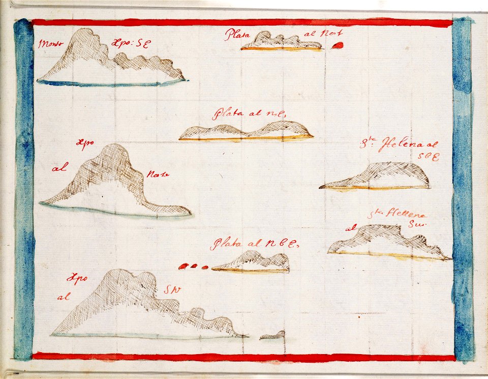
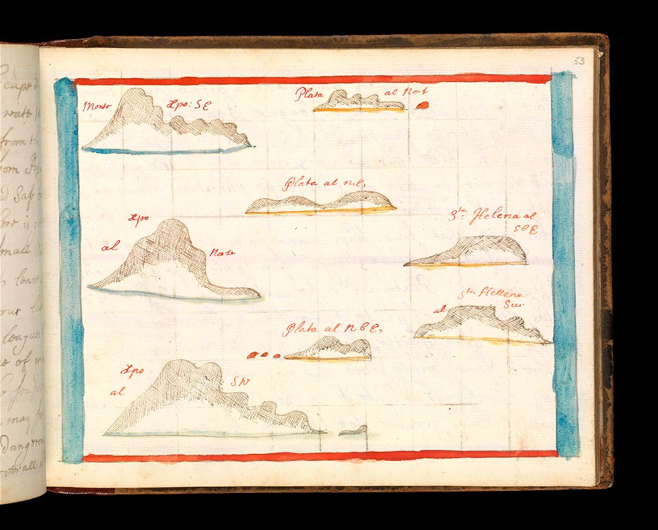
views from admiralty charts
richard brydges beechey
admiralty charts region r: usa and mexico west coasts
admiralty charts 401-600
admiralty charts 1001-1200
avacha bay
admiralty charts region b: england wales ireland english channel southern north sea
admiralty charts 1001-1200
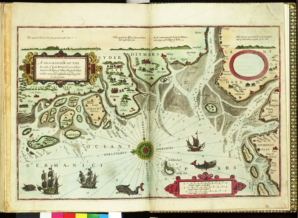
german bight
1588 maps
river
roads
river
roads
river
roads
river
roads
river
roads
river
roads
river
roads
601 - 700 of 925
Next page
/ 10